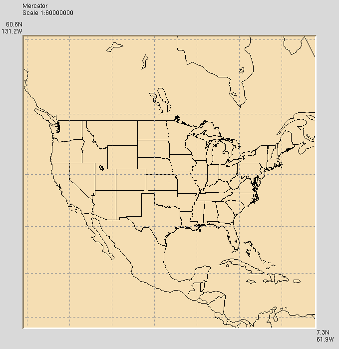
WorldLoRes
World, low resolution

WorldLoRes1.0.tar.gz (184 KB)
If your browser tries to display the "tar ball", right click on the
link and select "Save as ..."
This small data set is for users with slow Internet connections or small
computers. It contains medium resolution U.S. state and low resolution
national boundaries and coastlines obtained from NCAR Continental Outline
Data, GROUP 3 (
ftp://ncardata.ucar.edu/datasets/ds780.0). It also has
about 300 places extracted from the U.S. Census Bureau TIGER gazetteer
(
http://ftp.census.gov/geo/www/gazetteer/places.html).
Once loaded, WorldLoRes adds a MapData menu with the following items:
- Show places - draws dots at the populated places. If places are
shown, the text display below the map identifies the
place nearest the cursor. After selection, the
menu item becomes Hide places to make the places
disappear.
- Find place - creates a dialog box where the user can enter a
text pattern. Visky will perform a case insensitive
regular expression search for place names matching the
pattern. If it finds one, the place is put at the
center of the map with the '+' marker over it. If
several place names match the pattern, the names are
displayed in a list box and the user selects the desired
place by double-clicking it. Note: the list box has no
scroll bar - the viewed region is adjusted by dragging.
- Dot size - selects dot size in pixels for displaying places.
default sets the value to that chosen in the
'Widget->Dot size' menu.
- Colors - accesses a dialog box for adjusting the colors of
various items. Color selections are saved in a file
named $HOME/.mapdata/colors/WorldLoRes.tcl, which is
used to set colors next time the program runs. When
visky starts, it backs up this file to
$HOME/.mapdata/colors/WorldLoRes.tcl.bu, which can be
used to revert to the original colors if desired.
Back to visky data index
Back to visky home page

