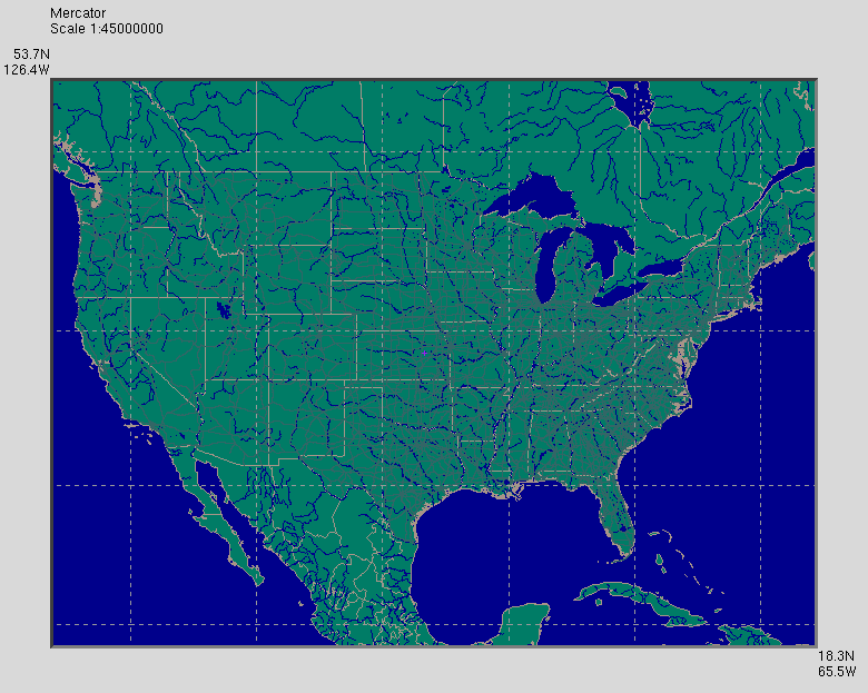
NAmerHiRes
North America, high resolution

NAmerHiRes1.1.tar.gz (14.4 MB)
If your browser tries to display the "tar ball", right click on the
link and select "Save as ..."
This data set has much more detail than WorldLoRes, at least for
North America. Because of the file size, it is meant for users
with fast Internet connections and large machines.
Namerhires1.1 requires Tkgeomap1.7
and Visky.
NAmerHiRes creates a MapData menu with the following items:
- Show lakes and rivers - determines whether lakes and rivers are
drawn. Upon selection, this item becomes Hide lakes and rivers.
- Show highways - determined whether highways are drawn. Upon
selection, this item becomes Hide highways.
- Show places - determines whether places are visible. If places
are shown, the text display below the map identifies the
place nearest the cursor.
- Find place - creates a dialog box where the user can enter a text
pattern. Visky will perform a case insensitive
regular expression search for place names matching the
pattern. If it finds one, the place is put at the
center of the map with the '+' marker over it. If
several place names match the pattern, the names are
displayed in a list box and the user selects the
desired place by double-clicking it. Note: the list
box has no scroll bar - the viewed region is adjusted
by dragging.
- Dot size - selects dot size in pixels for displaying places.
default sets the value to that chosen in the
'Widget->Dot size' menu.
- Colors - accesses a dialog box for adjusting the colors of
various items. Color selections are saved in a file
named $HOME/.mapdata/colors/NAmerHiRes.tcl, which is
used to set colors next time the program runs. When
visky starts, it backs up this file to
$HOME/.mapdata/colors/NAmerHiRes.tcl.bu, which can be
used to revert to the original colors if desired.
NAmerHiRes displays the following data sets:
Back to visky data index
Back to visky home page

